|
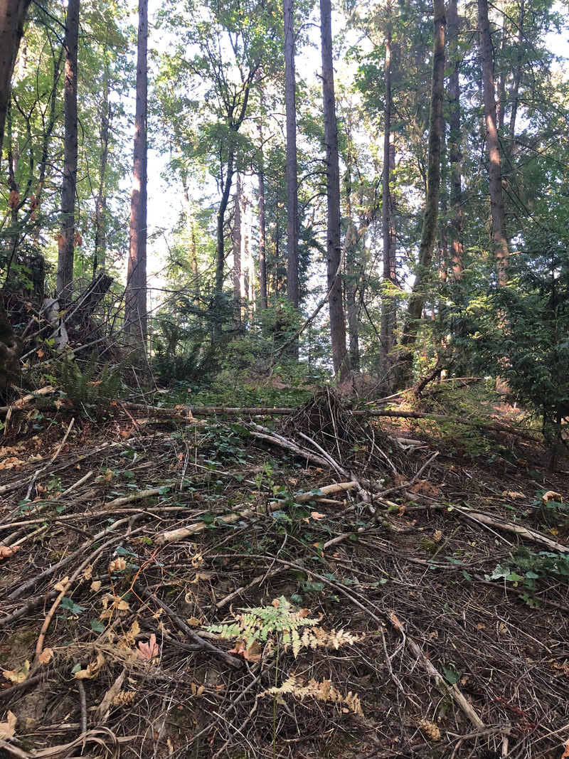
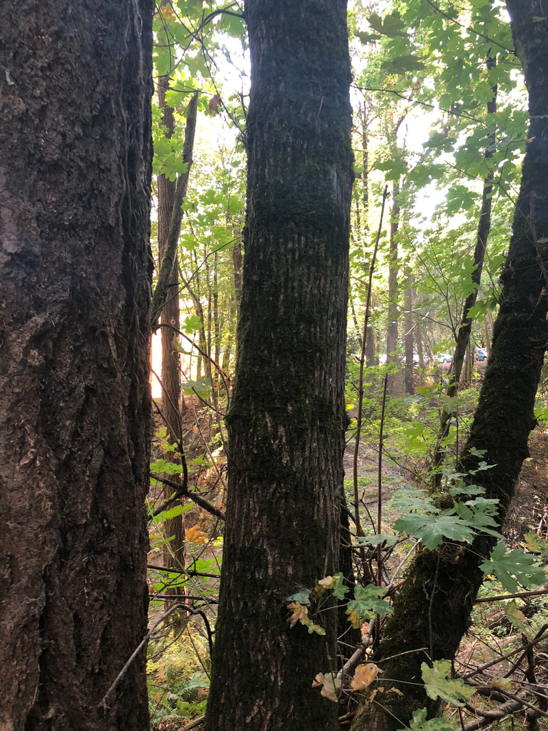
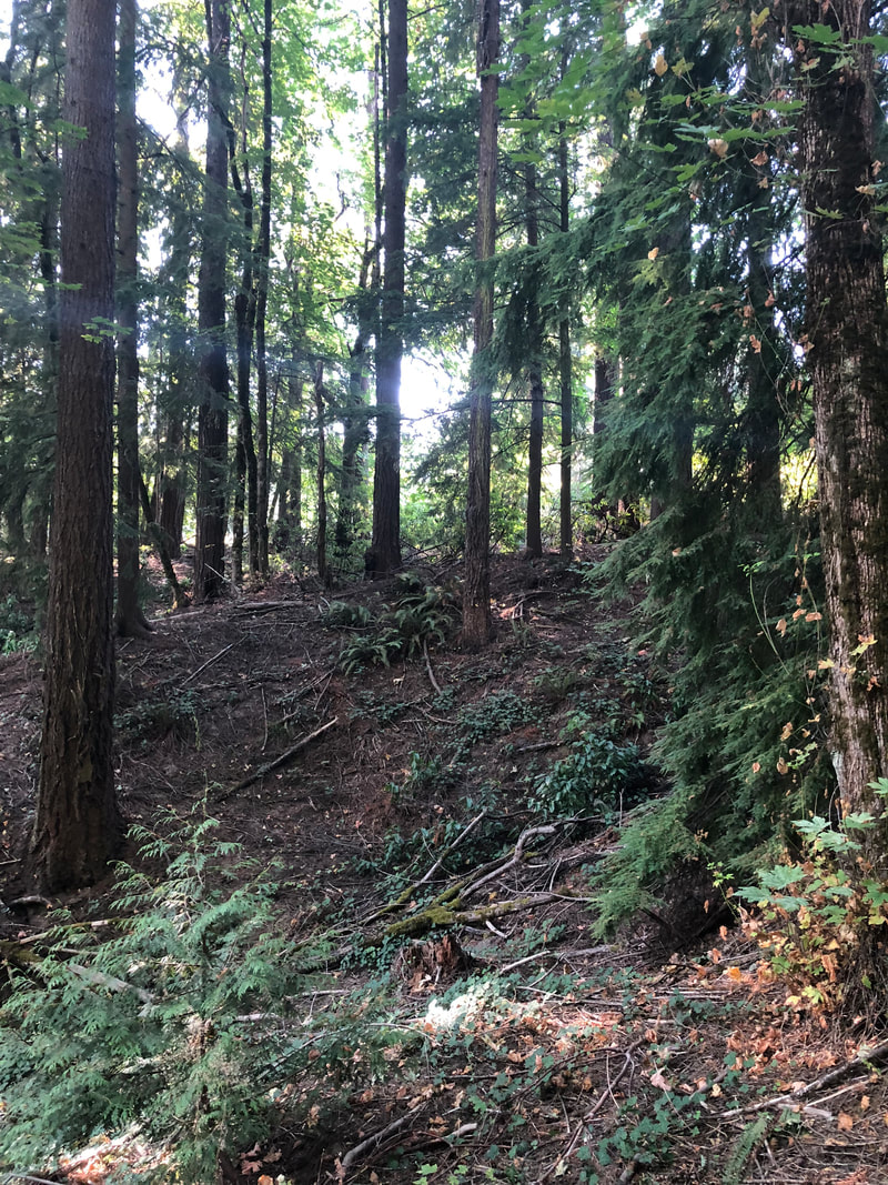
Lab Members Treasure McMahan, Match Kay, Andrew Hayes Date of Inquiry 6 September 2018 Background InformationBy means of studying land use and cover change in the Portland area from 1939 to 2018, we are able to gain a better understanding of human impact and interaction with the land. The land use cover change lab allows us to complete ground-truthing of satellite data. It is important to complete ground based research in combination with satellite data in order to validate satellite imagery. Our centroid is located in the Lewis and Clark College Ravine, which connects academic and residential areas of campus. While the 90 x 90 meter area looks similar in satellite imagery, ground-truthing revealed that development and major land use change has taken place over the past 70 years. Ground-truthing of satellite data enables us to better analyze the effects of the anthropocene in formerly natural landscapes. ProcedureTo begin, we formed lab groups and strategically selected land cover sites. Each site is a relatively consistent 90 x 90 meter square located in either Collin’s View, Riverview Natural Area, or Lewis and Clark College campus. We proceeded to our site in the Lewis and Clark College Ravine, located between Frank Manor House and Platt-Howard Hall near the pedestrian bridge. We selected a centroid, marked by a pin flag, that would allow for us to survey at least 30 x 30 meters without encroaching on the bridge construction. We calibrated our GPS device and took three readings in order to gather a more accurate latitude and longitude of the centroid. We took photos facing each direction from the centroid, and a photo facing up in order to document the canopy cover. We attached a microclimate apparatus, the Kestrel Drop, to a nearby tree using a lock cable, and used the mobile application to reset the data. We set the data collection for every 10 minutes, and collected data from 5:00pm on September 6th to 5:00pm on September 7th. On Friday, September 7th, we retrieved the Kestrel Drop and recorded the data from the mobile application. The Kestrel Drop provided us with the average, maximum, and minimum temperature and humidity levels around the centroid during the selected time frame. Results/AnalysisOur centroid is located in a low traffic area with an abundance of tree cover, which is reflected in the temperature and humidity data (see table 1). Our data is representative of an area that does not get much sunlight, and the temperatures reflect this observation. It was rather humid overnight and through the morning on Friday the 7th, which corresponds with the maximum humidity level. There is no concrete or other large structures in the immediate vicinity, which may have contributed to more consistent temperature and humidity levels.
Table 1, Kestrel Drop Data DiscussionGLOBE is a widely used program used by scientists and citizens alike. For this lab, we integrated Global Land Programme's research on land use/cover change and GLOBE's protocol to conduct an investigation into these changes on and around the Lewis & Clark College campus. The process of ground-truthing satellite data provides testimony for the impact the Anthropocene has had on historically wooded areas. While satellite data provides us with a rough picture of this impact, ground-truthing presents a more accurate picture of changes in land use and reveal the motivations behind land use and cover change. Through the LUCC lab, we gained a better understanding of the purpose and real world application of ground-truthing.
The pin in the map above marks the centroid of our site in the Lewis & Clark Ravine
0 Comments
Leave a Reply. |
Treasure McMahanI am an Environmental Studies and Sociology/Anthropology double major at Lewis & Clark College. This blog page is where I will post my lab write-ups for ENVS 220 "Environmental Analysis" Archives
December 2018
Categories |

 RSS Feed
